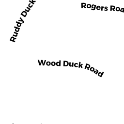
0 MID CAPE HIGHWAY
Owner Information
GROVER DOUGLAS A & RUTH A
P O BOX 240
S ORLEANS, MA 02662


Property Details
0 MID CAPE HIGHWAY is classified as a All land designated under Chapter 61 (not classified as Open Space).
0 MID CAPE HIGHWAY is valued at $77,110. The land is valued at $77,110 and the structures are valued at $0.
This property is in Zone RR. Confirm with local Zoning Board authorities to ensure there are no overlays or other easements on this property.
The most recent deed for 0 MID CAPE HIGHWAY is recorded at the local registrar in Book 20617, Page 241. 0 MID CAPE HIGHWAY was last sold on Thursday, December 29, 2005 for $0.
Assessment data from fiscal year 2022.
Flood Data
According to the FEMA National Flood Hazard Layer, this property does not appear to be in a flood zone. It may also be in an area not yet reviewed. Nonetheless, confirm this information prior to taking any action.
To view the flood hazards around this property, create a FEMA "Firmette" Map of the area around 0 MID CAPE HIGHWAY.
Broadband Internet Providers
| Provider | Type | Bandwidth (mbps) | |
|---|---|---|---|
| VSAT Systems, LLC. | Satellite | 2 | 1 |
| HughesNet | Satellite | 25 | 3 |
| GCI Communication Corp. | Satellite | 0 | 0 |
| T-Mobile | Fixed Wireless | 25 | 3 |
| Comcast | Cable | 1000 | 35 |
| Verizon New England Inc. | DSL | 10 | 1 |
| Viasat Inc | Satellite | 35 | 3 |
Broadband service provider data from December 2020.
Adjacent Properties
- 0 MID CAPE HIGHWAY
Developable Industrial Land owned by ABBY DEVELOPERS LLC - 0 MID CAPE HIGHWAY
All land designated under Chapter 61 (not classified as Open Space) owned by GROVER DOUGLAS A & RUTH A TR - 0 ROUTE 39 REAR
Vacant, Conservation (Municipal or County) owned by BREWSTER TOWN OF - 0 MID CAPE HIGHWAY
Undevelopable Industrial Land owned by NEWCOMB KNOLLS LLC - 0 MID CAPE HIGHWAY
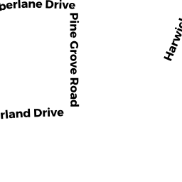
Undevelopable Industrial Land owned by CAPE SAND AND RECYCLING LLC - 87 TIMBERLANE DRIVE
Single Family Residential owned by JENKINS DAVID S & HEIDI E - 0 SOUTH ORLEANS ROAD REAR
Mixed Use (Primarily Commercial, some Forest) owned by GROVER DOUGLAS A & RUTH A - 383 SOUTH ORLEANS ROAD
Nursing Homes - includes property designed for minimal care with or without medical facilities owned by 383 SOUTH ORLEANS LLC